
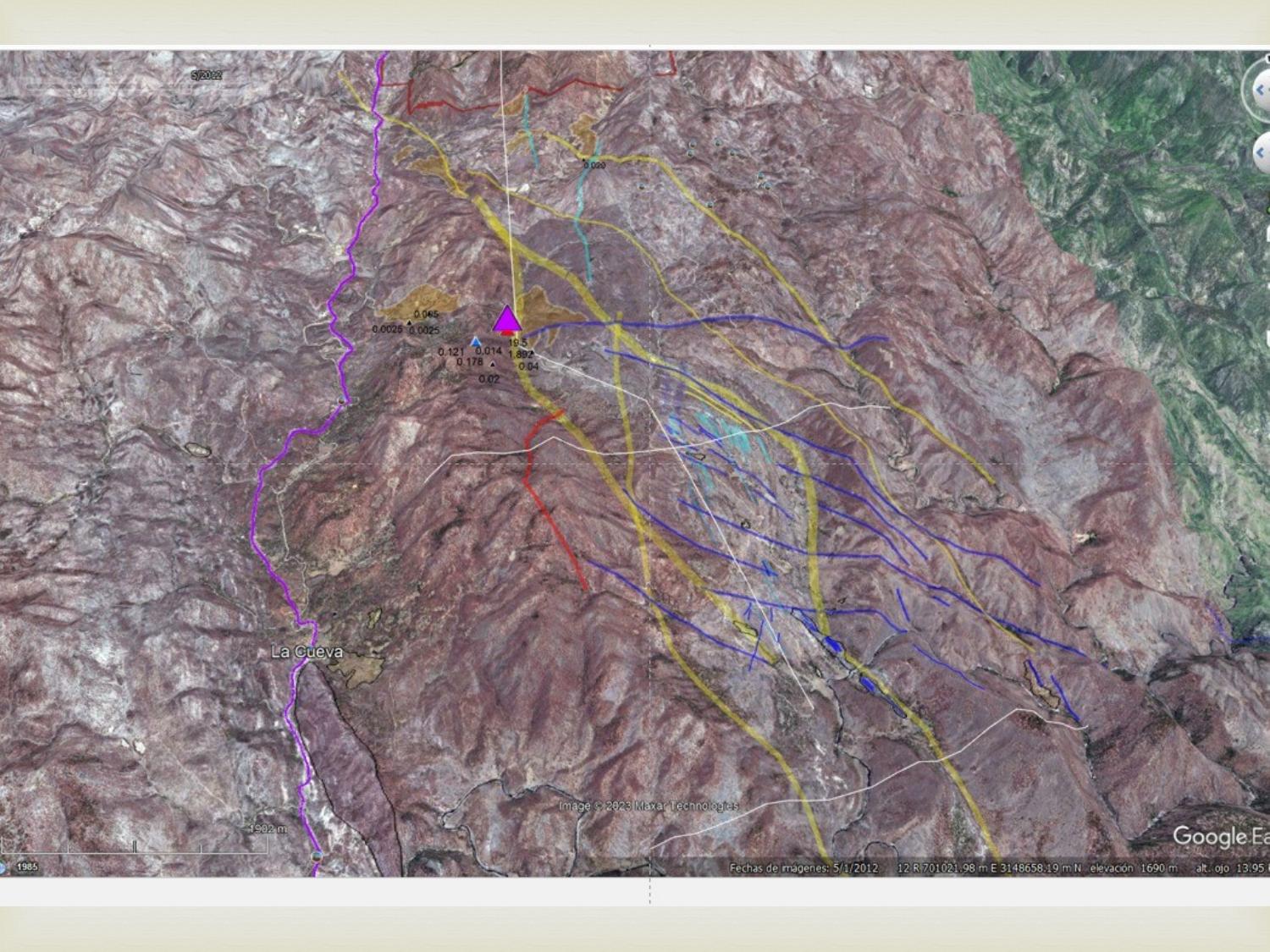
Yécora, Sonora — BRS Resources Ltd. (CSE: BRS) announced the commencement of an advanced aerial magnetometry survey at its La Guadalupana project, situated roughly 11 kilometres north of Yécora, Sonora, Mexico. The program is being conducted in partnership with GDI Geofísica Aplicada de Mexico.
Program Details
The survey deploys industrial-grade UAVs equipped with high-sensitivity magnetometers across the 1,053-hectare property, targeting structurally controlled mineralization. The work is designed to identify rock units, geological structures, and hydrothermal alteration zones relevant to the epithermal deposit style found throughout the Mulatos district.
According to the Company, the program aims to "expedite the de-risking of the Project while providing essential data required to advance the Project." Field work is expected to complete within five calendar days, weather permitting, followed by approximately 15 days of data processing and interpretation.
Technical Oversight
Allan L. Schappert, CPG, SME-RM, Principal Resource Geologist at ALS Geo Resources, will oversee data acquisition and interpretation in accordance with NI 43-101 and SEC Regulation S-K 1300 standards.
VP Business Development Jason R. Hylton-Foster remarked that the geophysical program "represents a disciplined, phased approach to confirming the structural potential" of the property.
Context
The survey follows BRS's June 24, 2026 announcement of a non-binding Letter of Intent to earn up to a 75% interest in the La Guadalupana and El Señor de los Guerreros concessions. Full project background, maps, and photos are available on the SilverGold Mountain project site.